Home >
Hiking >
Blogs >
South Tyrol, Val Gardena
2013-08-18, Sassolungo
Map with GPS track (click on icons):
Open Maps
The hike begins with a dash to catch the non stop walkers gondola.


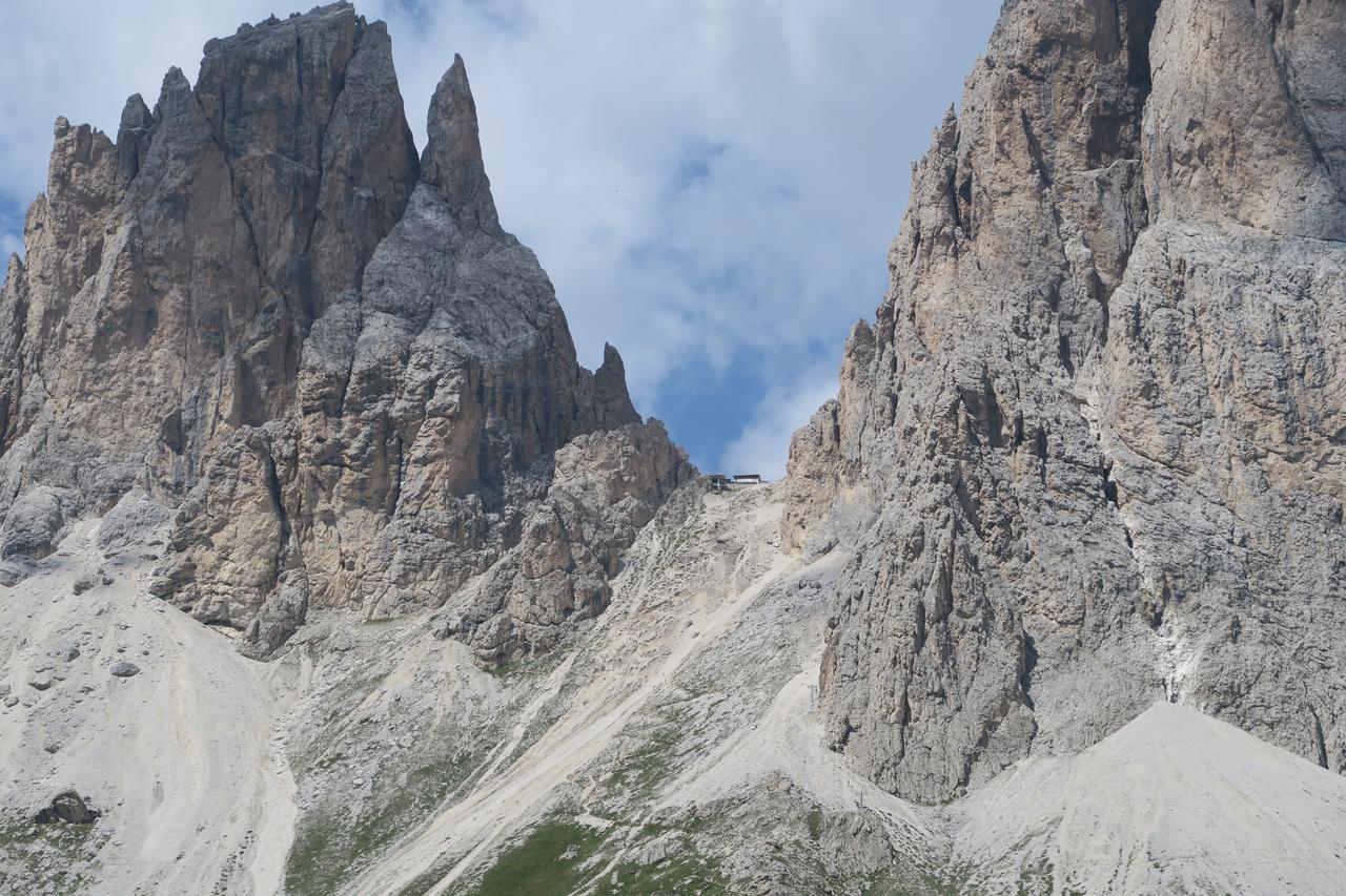
It takes you up into the heart of Sassalungo to Rifugio Demetz at around 2685 metres.


You can walk up or down that slope if you wish...

To the east is the Marmolada...

...and Col Rodella, a small peak but worth scaling for its views.

Beginning the descent down the ravine between Sassolungo and Sassopiatto.

To the west Alpe di Siusi comes into view.

The path is steep at times and quite interesting.


The scale can be seen here.

Looking back up.

A welcome break at Rifugio Vicenza. From here the hike continues west for a while then swings around to follow the northern base of the mountain.


Sciliar and Santner to the west.

The spires in SassoPiatto (yes it really does go beyond the vertical).

To the north is the Puez Odle Nature park.


Around the northern base of the mountain.

A fairy tale is illustrated by the side of the walk.

Note the four languages.

The spires at the SW end of the Sella Group. The walk finishes back up near the base of the walkers Gondola.

Home >
Hiking >
Blogs >
South Tyrol, Val Gardena
© Jules Kayak 2024, last updated: April 2024


