Home >
Biking >
Blogs >
England, Lancashire
2020-08-08, MTB, Mary Towneley loop South
The Mary Towneley Loop (MTL) is a long, hard and predominantly off road ride of about 47 miles and over 1500 metres of ascent. The plan was to tackle it in sections so I came up with a SE to NW route across the middle of the loop.
Map with GPS track (click on icons):
Open Maps
Bing (OS)

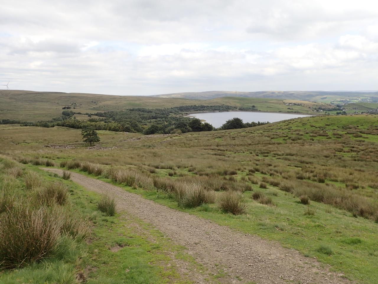
On a hot summer's day we rode the southern section anticlockwise, starting and finishing at Water Grove reservoir.

The first section was scenic, winding through valleys over to Calderbrook and Summit.

The next section started with a climb up the side of the valley overlooking the A6033 and Rochdale canal followed by a steep descent with sharp switchbacks into Bottomley. On the Pennine Bridleway you'll encounter many old paved tracks which are great when dry but can be slippery when wet. This descent would be dangerous in the wet as you're on a steep hillside. Having descended into the valley and crossed the Rochdale canal, there was a short steep ascent up through Bottomley with nice views over the valley followed by a tarmac descent into Walsden to begin the route across the centre of the MTL.

The climb west out of Walsden is initially steep but then settles into a long ascent which becomes a track up into the valley above Ramsden Clough reservoir.

The following section is a bridleway but becomes poorly defined as you head towards the peak and Trig point of Freeholds Top. At N53.69158 W2.14027 there is a choice, either straight ahead (NW), on the official bridleway or right (N) on the level to a gate in a fence, then straight up (W) to the top. We followed the official bridleway but it involved some walking. Having taken the deviation from the bridleway previously, I'd say that is better. From the hilltop the route was then poorly defined until we joined the track to the A681.

It was then along a bridleway over Heald and Deerplay Moors to the junction of the A671 and B6238 to rejoin the western section of the MTL.

The way south involved countless gates as it meanders down the valley through Lumb and to Waterfoot.

The ascent out of Lumb was initially steep and rocky up to the side of Cragg quarry. There is a lot of old double paved track in which you can see ruts carved by the carts. As we descended towards Rochdale we were well and truly shaken and stirred by the cobbled track. The route back to Watergrove should have been uneventful but our battery levels were by now very low and with about a mile to go my mate's battery was empty.

Home >
Biking >
Blogs >
England, Lancashire
© Jules Kayak 2024, last updated: May 2024


